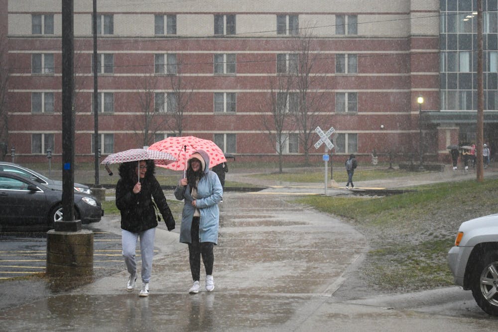
Tornado watch, thunderstorms projected to end mid-afternoon
A cold front with possible severe weather is expected this evening

A tornado watch is in effect until 4 p.m. for several southwest Michigan counties including Isabella, according to the National Weather Service (NWS). Showers and thunderstorms today are expected to end by 3p.m.
Severe thunderstorm warnings across mid-Michigan show 60+ mph winds that could “easily become tornadic," NWS meteorologist Jim Maczko said.
A cold front is expected later this afternoon, from 3 p.m. to 9 p.m., with lows in the 40s and could be a threat for severe weather, he said.
“You want everybody to make sure that they have multiple ways to receive weather warnings, whether they're inside, outside or traveling,” he said. “If you get a cell phone alert for a tornado warning on your phone that means that warning is for you, where you’re standing right now, and you should take immediate action to get to safety.”
A tornado watch means that weather conditions are favorable for the development of severe storms and tornadoes, according to the National Oceanic and Atmospheric Administration. A warning is issued when a twister is spotted on radar or in real life and there is imminent danger.


