How Mount Pleasant deals with flooding
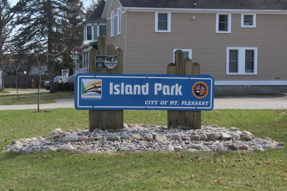
From Saturday to Monday this week, Island Park in Mount Pleasant was closed due to rising river levels that led to flooded parts of the park.
"We'd decided to close the gate ... just for a safety hazard," Jason Van Liew, parks field operations supervisor for Mount Pleasant, said. "For the structural integrity of our roadways, with the saturated soils and heavy traffic on those."
He said it's not common for the park to be closed after typical rain, but after the amount of rain Mount Pleasant experienced and the levels were previously high due to snow melting.


Van Liew said in 2017, Mount Pleasant experienced its worst flood since 1986, with 14.77 feet on the river gauge. The highest level on the river gauge during this flood was 8.47 feet.
A river gauge is a scientific instrument used to measure the water level surface, to provide real-time data on flooding.
Rachael Agardy is the environmental science program director at Central Michigan University. She said in Mount Pleasant, there are known flood areas that are adjacent to the Chippewa River, which includes Island Park and Millpond Park.
"We have a pretty big history of floods adjacent to the Chippewa River, some of them are small, some of them are larger," Agardy said. "Obviously, we just experienced one, somewhat recently, and then there are historic events going back."
The Federal Emergency Management Agency has a flood map service available to show the section of land that's more likely to experience floods.
Mount Pleasant map flows with the Chippewa River. Agardy said there were buildings that were built before the detailed flood mapping, that aren't residential, like the city hall.
"Then we have the parcel B develop, which includes the Greentree and the apartments and Isabella Bank building, which was built recently," she said.
The city requested an exemption for the buildings in the flood plan. Agardy said this required the businesses to either purchase national flood protection insurance or place 12 feet of soil on top of the property.
First floor of buildings and parking lots are the areas that are most at risk for flooding.
"I would say to people, think about what your risk tolerance is, if you don't have a car, that's maybe something to think about," Agardy said. "What would be your evacuation plan."


